South Fortuna Summit at Mission Trails Regional Park

At 1,094 feet, the South Fortuna Summit has the lowest elevation among the 5 summits at Mission Trails Regional Park. Do not be fooled by "lowest." Regardless where you begin, it is a challenging hike. My butt and thighs burn just reminiscing.
FIRST HIKE
Visitor Center Loop Trailhead-Old Mission Dam-South Fortuna Summit-Visitor Center Loop Trailhead
This was an "accidental" hike; indeed, an unplanned summit conquest.We only planned to familiarize ourselves with the area around San Diego River Crossing and discovered how it connects to the Visitor Center Loop Trailhead, which in turn connects to the Father Junipero Serra Trail towards Old Mission Dam.
 |
| Visitor Center Loop Trailhead to Old Mission Dam |


Hhhmmm... What can be beyond the dam? We walked further to discover Grasslands Loop and Oak Canyon Trail. There, we saw signs to South Fortuna Summit via the Fortuna Saddle. Going up Fortuna Saddle is no joke, but once you make it to where it actually plateaus... it hurts, but feels so good!

Old Mission Dam to South Fortuna Summit (via Oak Canyon Trail and Fortuna Saddle)
 |
 |
| Oak Canyon Trail - You can't miss this; the E52 freeway is buzzing to your right. |


 |
| The view atop South Fortuna Summit is just WOW! Now, we needed to get back to our car before sunset. Instead of retracing our steps, we decided to check-out what's on the other side of the mountain range (Tierrasanta) and make our way to San Diego River Crossing/Visitor Center Loop. |

South Fortuna Peak to Visitor Center Loop Trailhead
 |
| "Stairway to Heaven" - Going down those steps with my bad knees was a %&$#! |


SECOND HIKE
West Fortuna Staging Area (Clairemont Mesa Trailhead) to South Fortuna Summit
West Fortuna Staging Area (Clairemont Mesa Trailhead) to South Fortuna Summit
Our second hike to South Fortuna Summit was more straightforward; however, we could not escape the "Stairway to Heaven" intense-stair master.

This time, we started at the West Fortuna Staging Area (Clairemont Mesa Trailhead) at Tierrasanta.
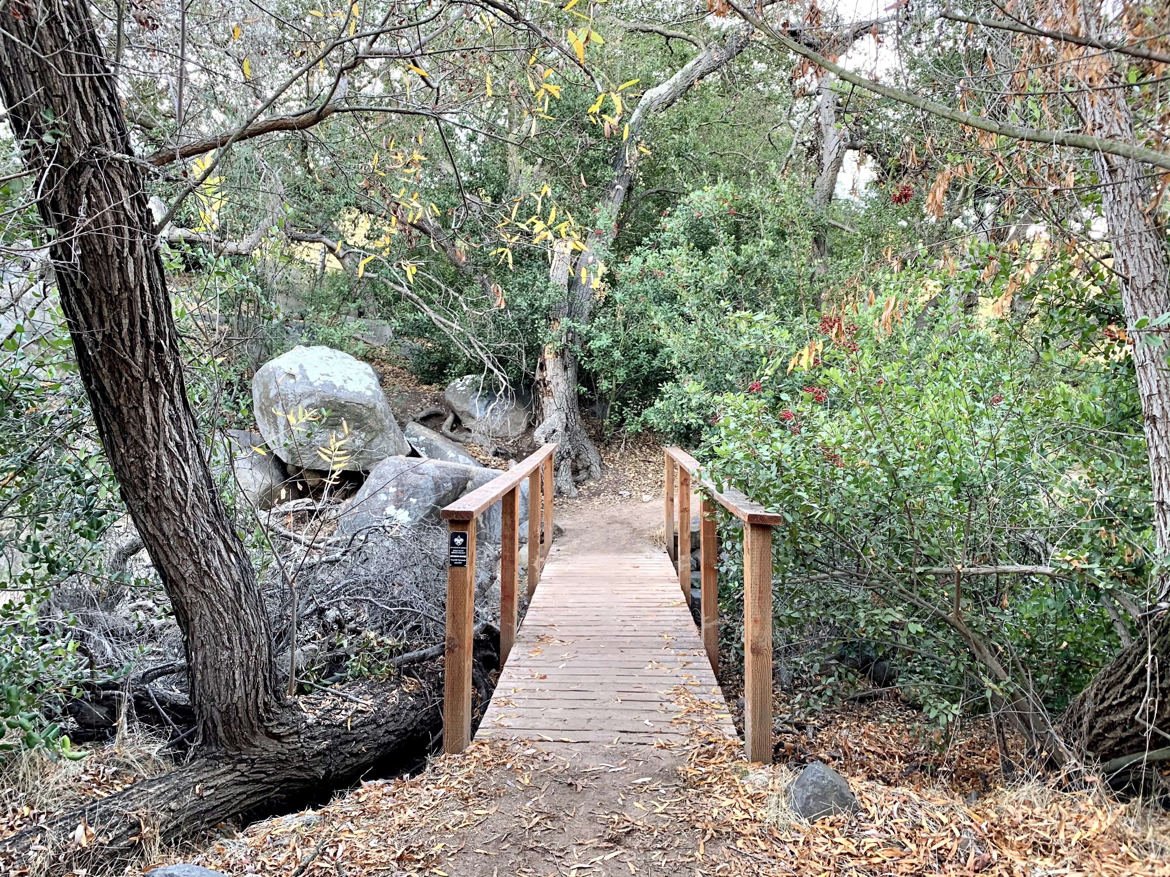
 |
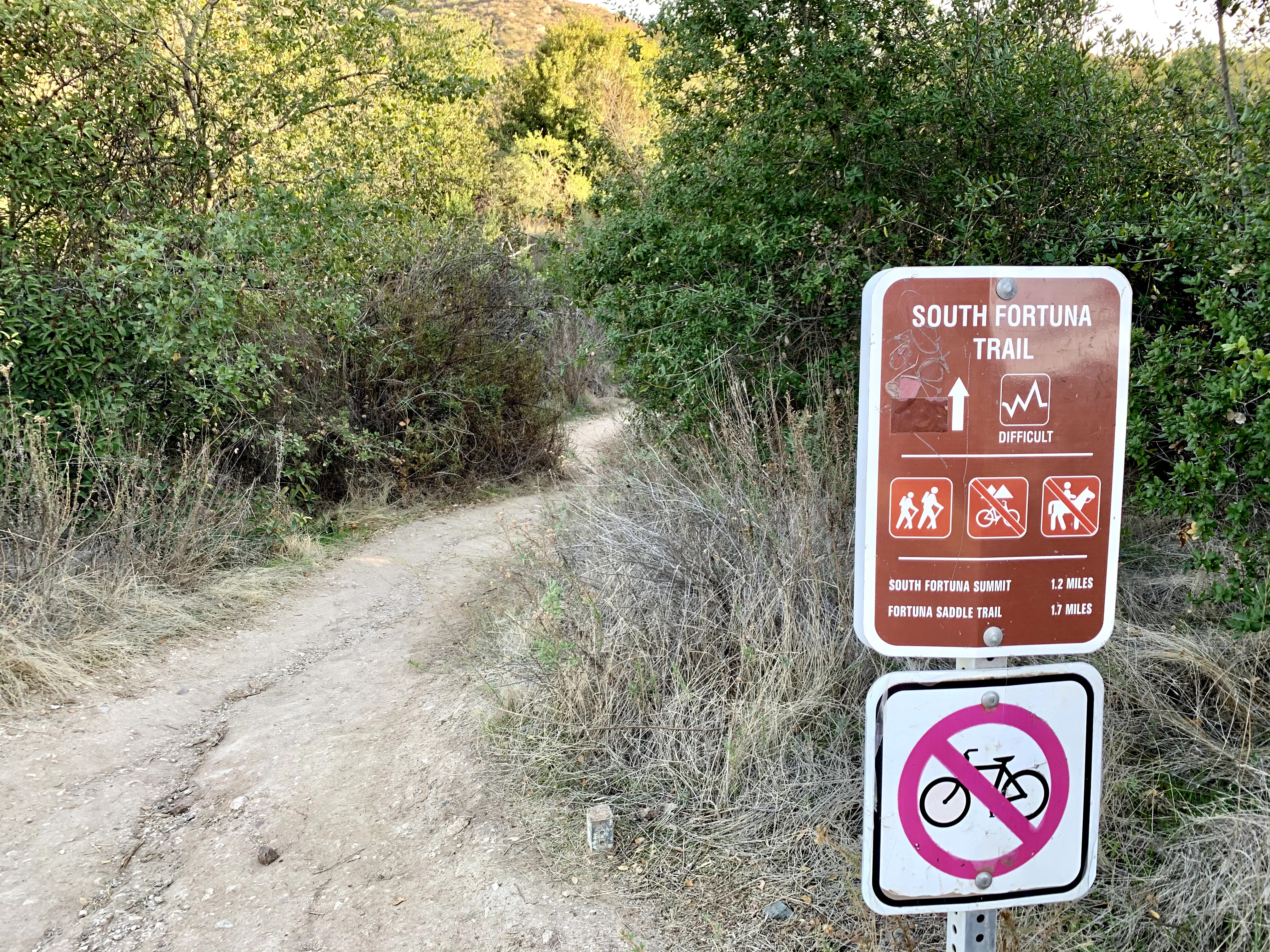
| Walk to the side of the construction area to get to this bridge. Then, just follow the signs to Suycott Valley to South Fortuna Trail. |


 |
| "Stairway to Heaven" |
Another route to South Fortuna Summit is via the North Fortuna Summit/Fortuna Saddle trail. Now, YOU do it!